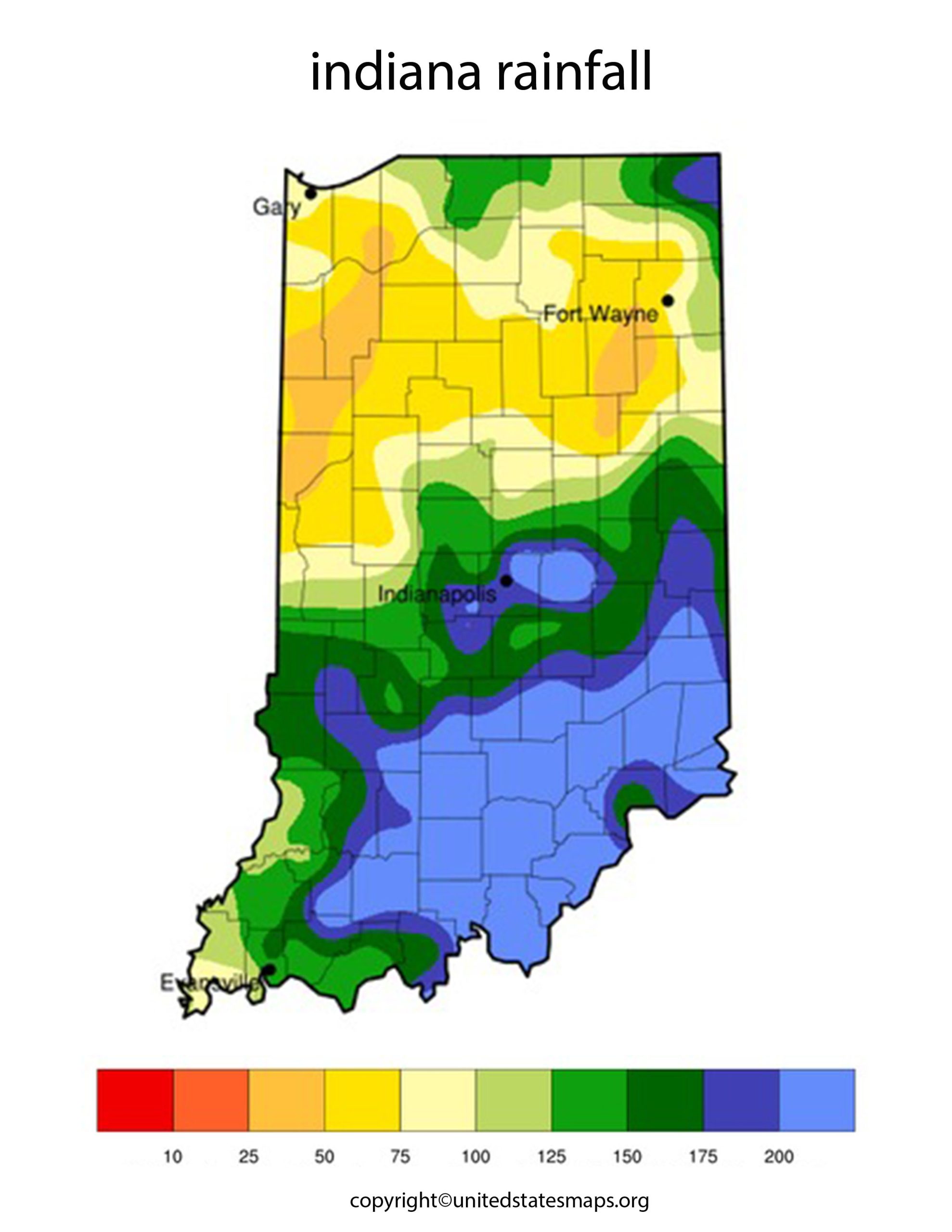
Get ready for a significant weather shift as Indiana prepares for a statewide Cooler Change. A cold front is set to sweep across the state Wednesday night, bringing much-needed rain and ushering in cooler, autumn-like temperatures. This change will be a welcome relief for many Hoosiers, particularly after a dry August that left rainfall totals 1 to 3 inches below average, according to reports.
The Impending Cold Front: Who Will Be Affected?
The approaching weather system will impact residents throughout Indiana. Central Indiana, including Indianapolis, will experience the brunt of the change, but northern Indiana (Fort Wayne, South Bend) and southern Indiana will also feel the effects. Meteorologists, including Andrew White from the National Weather Service in Indianapolis and Matt Standridge from 13News, have been closely monitoring the front and providing updates to the public. Drivers and individuals with outdoor plans should take note of the changing conditions and prepare accordingly.
What to Expect: Rain, Cooler Temperatures, and Gusty Winds
The primary impact will be widespread light to moderate rainfall as the cold front moves through the state. Central Indiana can expect between 0.1 and 0.5 inches of rain, while northern Indiana could see rainfall amounts closer to an inch. While this isn’t expected to be a “washout,” the rain is considered beneficial given the recent dry conditions. According to WTHR, some isolated showers are possible during daylight hours on Wednesday, but the main wave of rain is projected for Wednesday night.
In addition to the rain, expect a noticeable drop in temperatures. Following the rain, temperatures are expected to fall by 10 to 15 degrees. Highs will settle into the 70s, and overnight lows could dip into the 40s and low 50s, providing that “first taste of autumn-like air” many are anticipating. A secondary cold front is also anticipated to maintain cooler temperatures through the upcoming weekend, according to WOWO News/Talk 92.3 FM and 1190 AM.
There is a slight chance of isolated thunderstorms and wind gusts reaching 30 to 40 mph, but severe weather is not a primary concern at this time. However, residents should remain aware of changing weather conditions and heed any local advisories.
When and Where: Timing and Location of the Weather Shift
The cold front is scheduled to arrive Wednesday night. Widespread light rain is expected to approach Indiana’s western state line around 5-6 p.m., with the majority of the rain for central Indiana falling between 8 p.m. Wednesday and 5 a.m. Thursday. Cooler temperatures will settle in by Thursday and are expected to persist through the weekend.
The effects of this weather system will be felt across the entire state of Indiana. While the heaviest rainfall is most likely to occur in northern Indiana, all regions will experience a noticeable change. By Thursday morning, lingering light showers may be concentrated mainly south and east of Indianapolis as the slow-moving front continues its progression, reports WHAS11.
The Science Behind the Change: Why This is Happening
The shift in weather is attributed to a cold front moving through the region, driven by a low-pressure system spinning over the Great Lakes. This atmospheric pattern is drawing in cooler air from Canada, leading to the noticeable temperature drop. As noted by the Country Herald, the incoming rain is particularly significant as Indiana has been experiencing drier-than-average conditions throughout August.
Impact and Preparation: How to Navigate the Changing Conditions
The arrival of the cold front will bring a definitive end to the late-summer warmth, offering a refreshing change for many. However, it’s essential to be prepared for the potential impacts. Drivers should be prepared for slick roads, especially during the Wednesday evening commute and into early Thursday morning, which could affect travel times. Outdoor activities and any late-week events may also be impacted by the damp and cooler conditions.
While the rainfall amounts are not expected to be excessive, they are crucial for alleviating the dry conditions across the state. Residents are encouraged to monitor local forecasts for any further advisories and to adjust their plans accordingly for the cooler weather. Taking simple precautions, such as carrying an umbrella or raincoat and dressing in layers, can help ensure comfort and safety during this transition.
Conclusion
Indiana residents should anticipate a significant shift in weather patterns as a cold front arrives, bringing much-needed rain and cooler temperatures. Stay informed, adjust plans accordingly, and welcome the refreshing change as Indiana gets its first taste of fall.

